kcc logo

West Ironbound Island

Champlain’s explanation of his map
The figures indicate fathoms of water.

A. The place where vessels anchor.
B. A small river dry at low tide.
C. Places where the savages have their cabins.
D. Shoal at the entrance of the harbor.

E. A small island covered with wood.
F. Cape de la Heve.

G. Bay where there are many islands covered with wood.
H. A river extending six or seven leagues inland with but little water.

I. A pond near the sea.

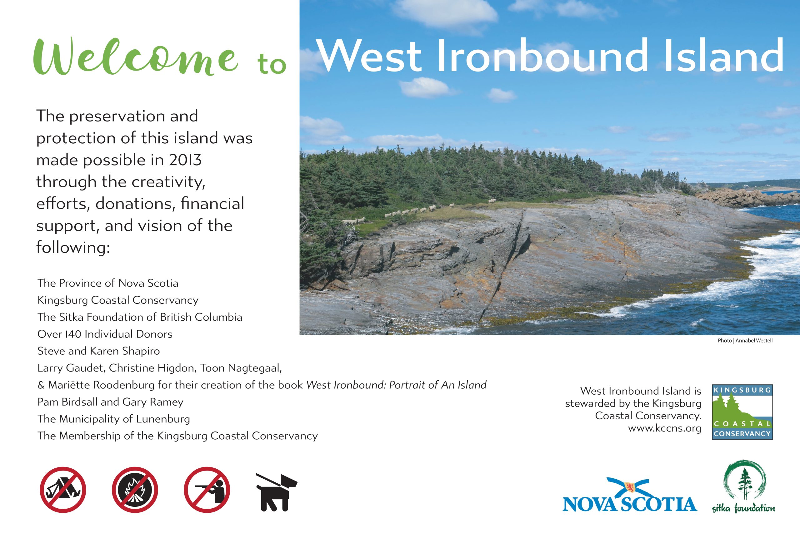
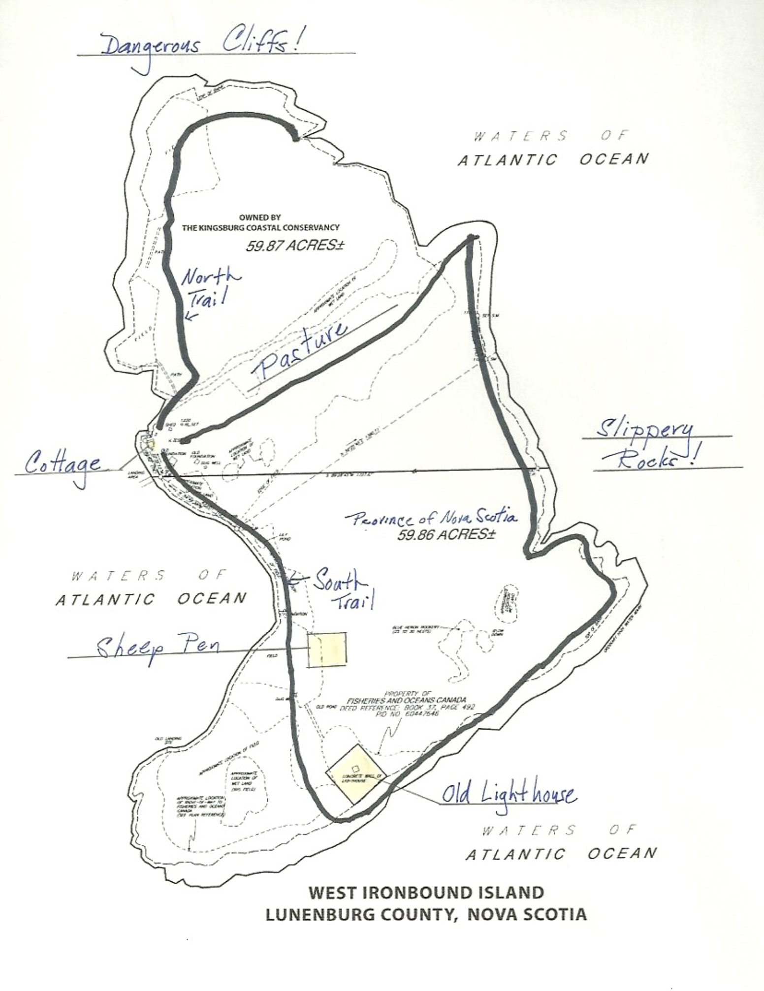
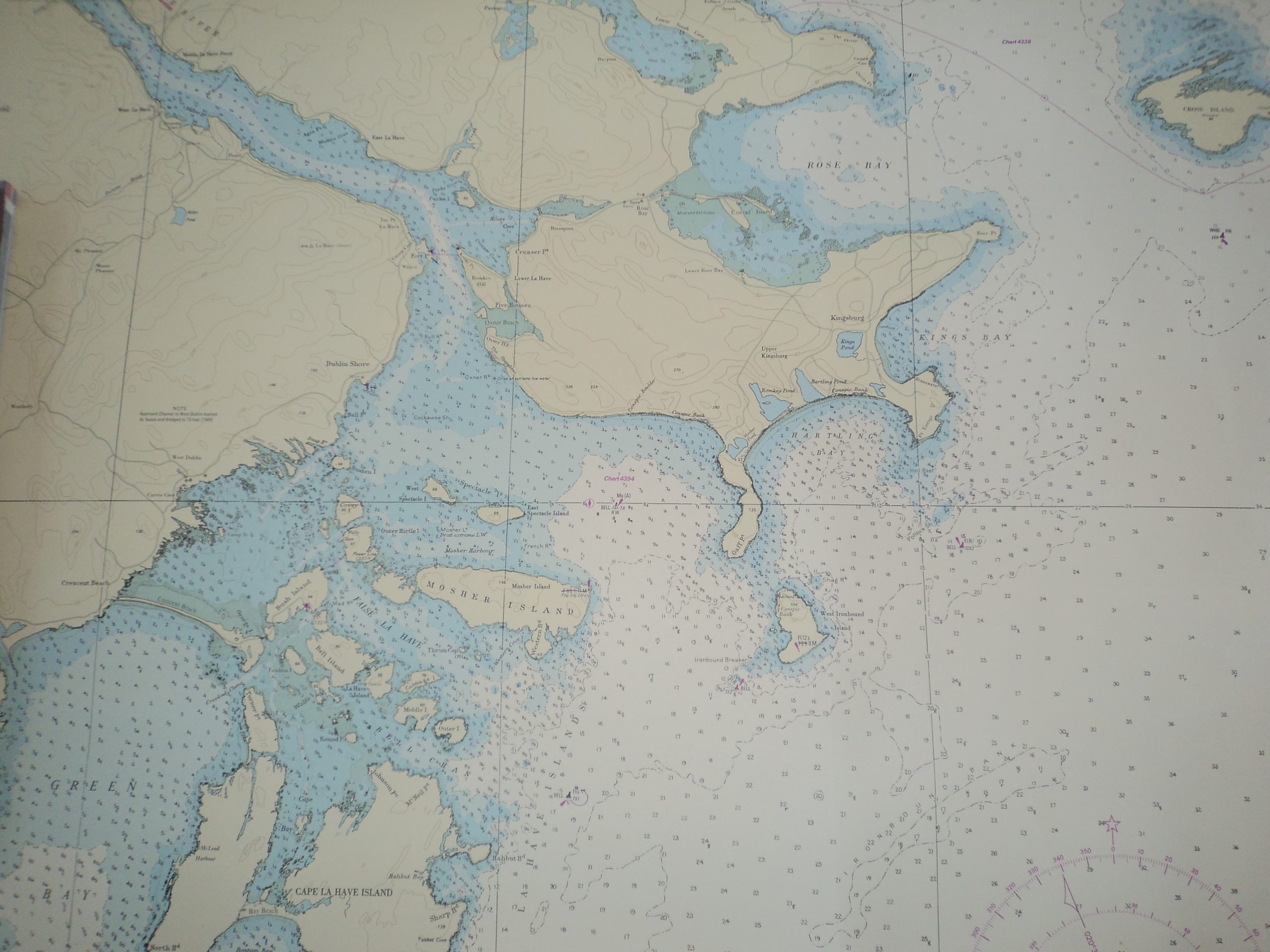
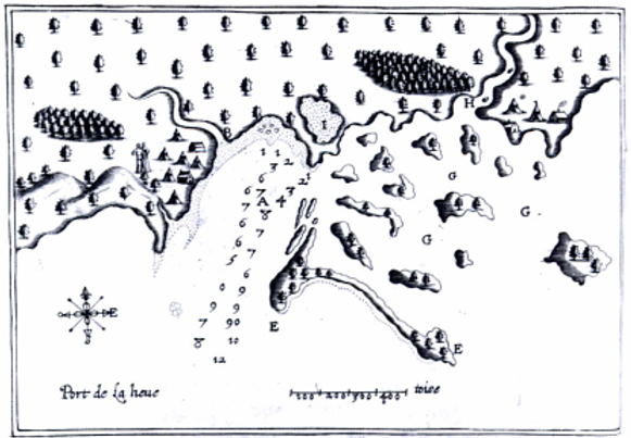
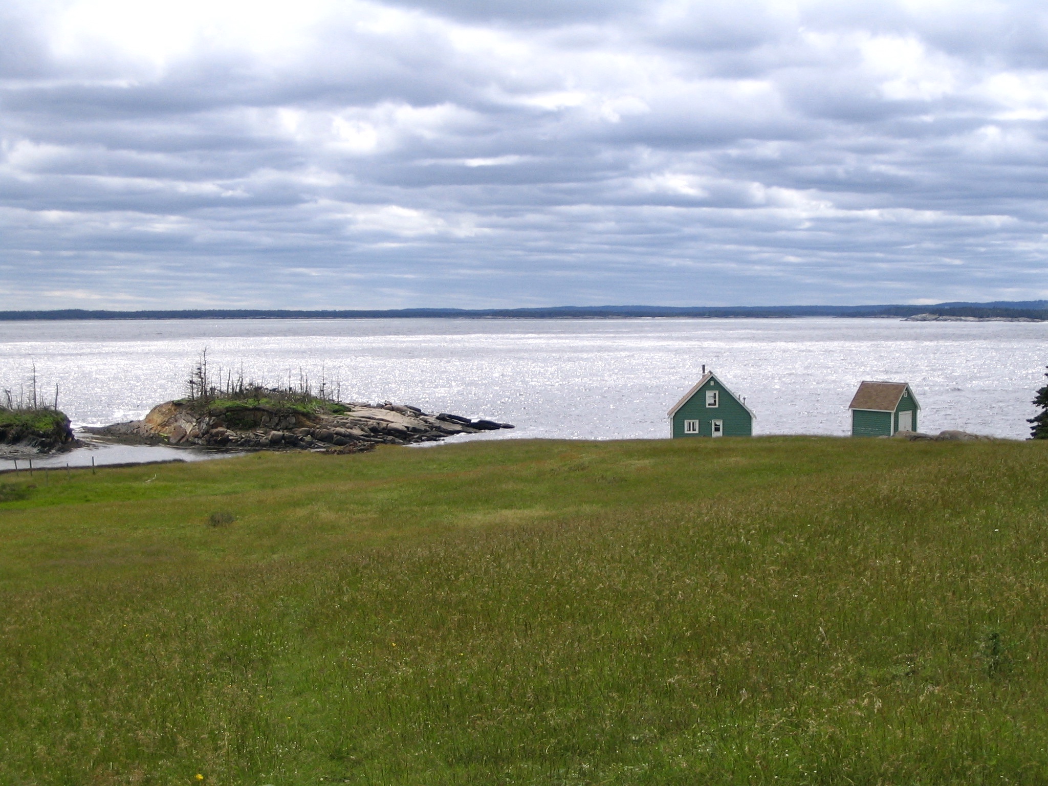
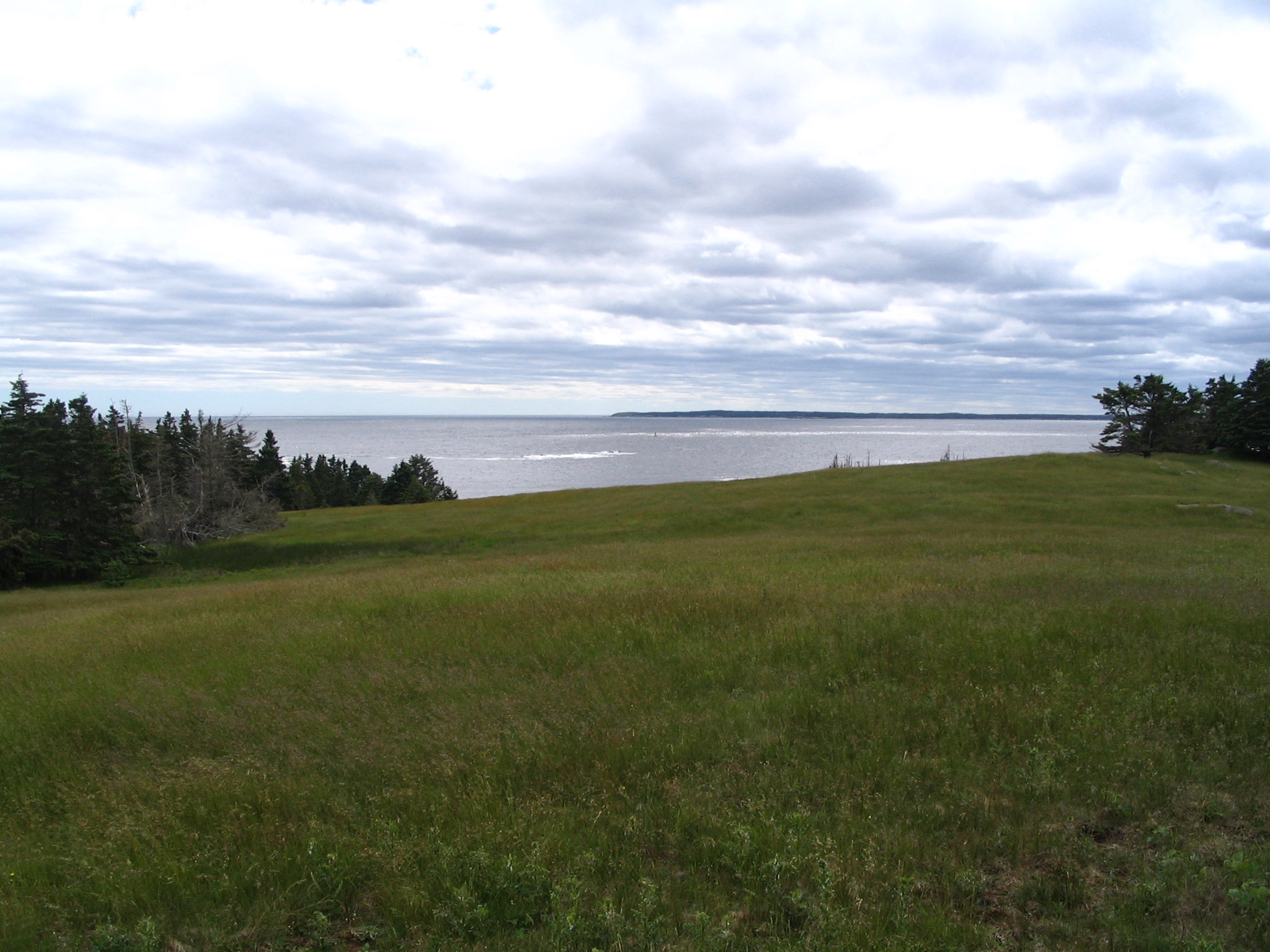
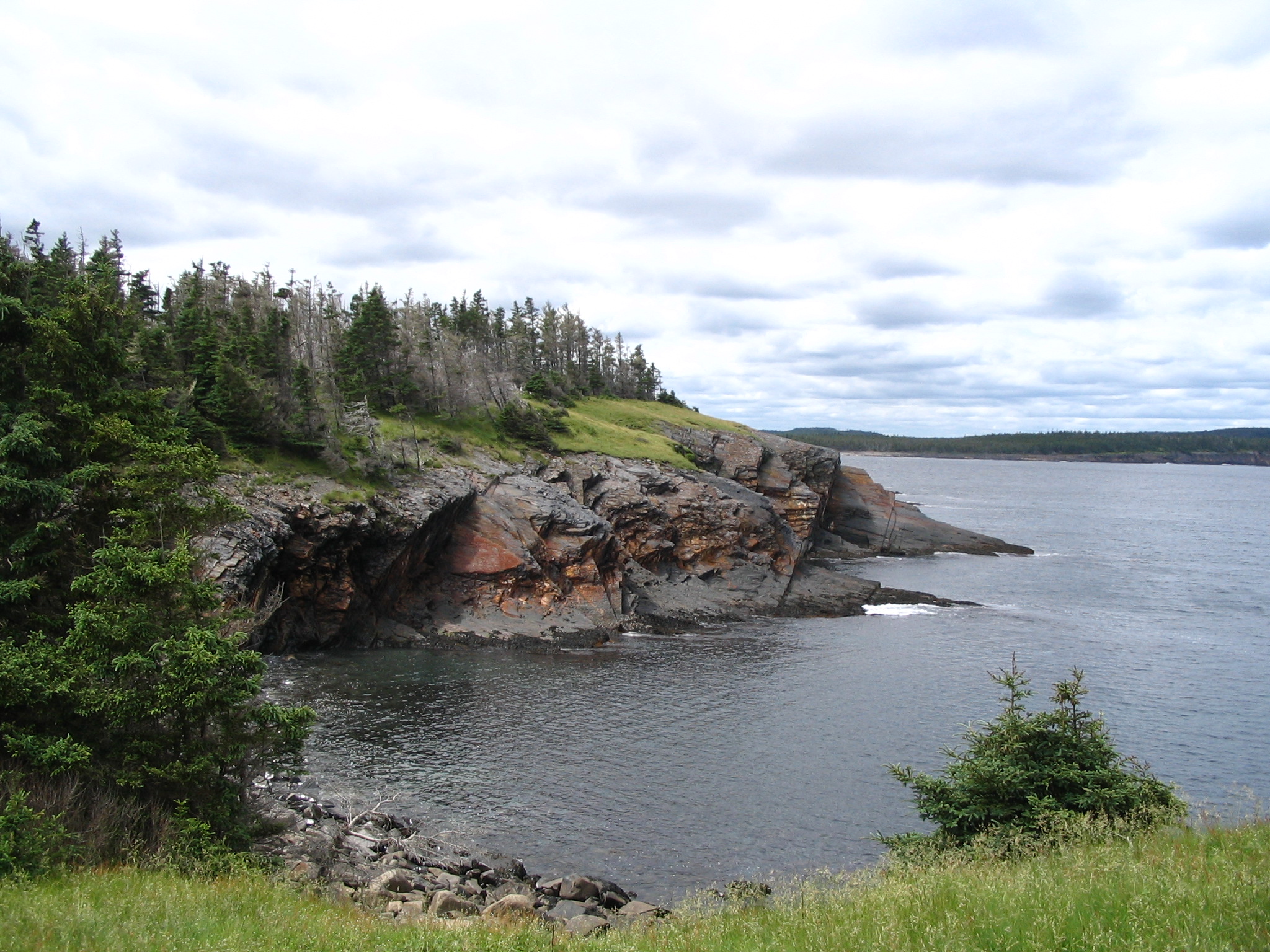
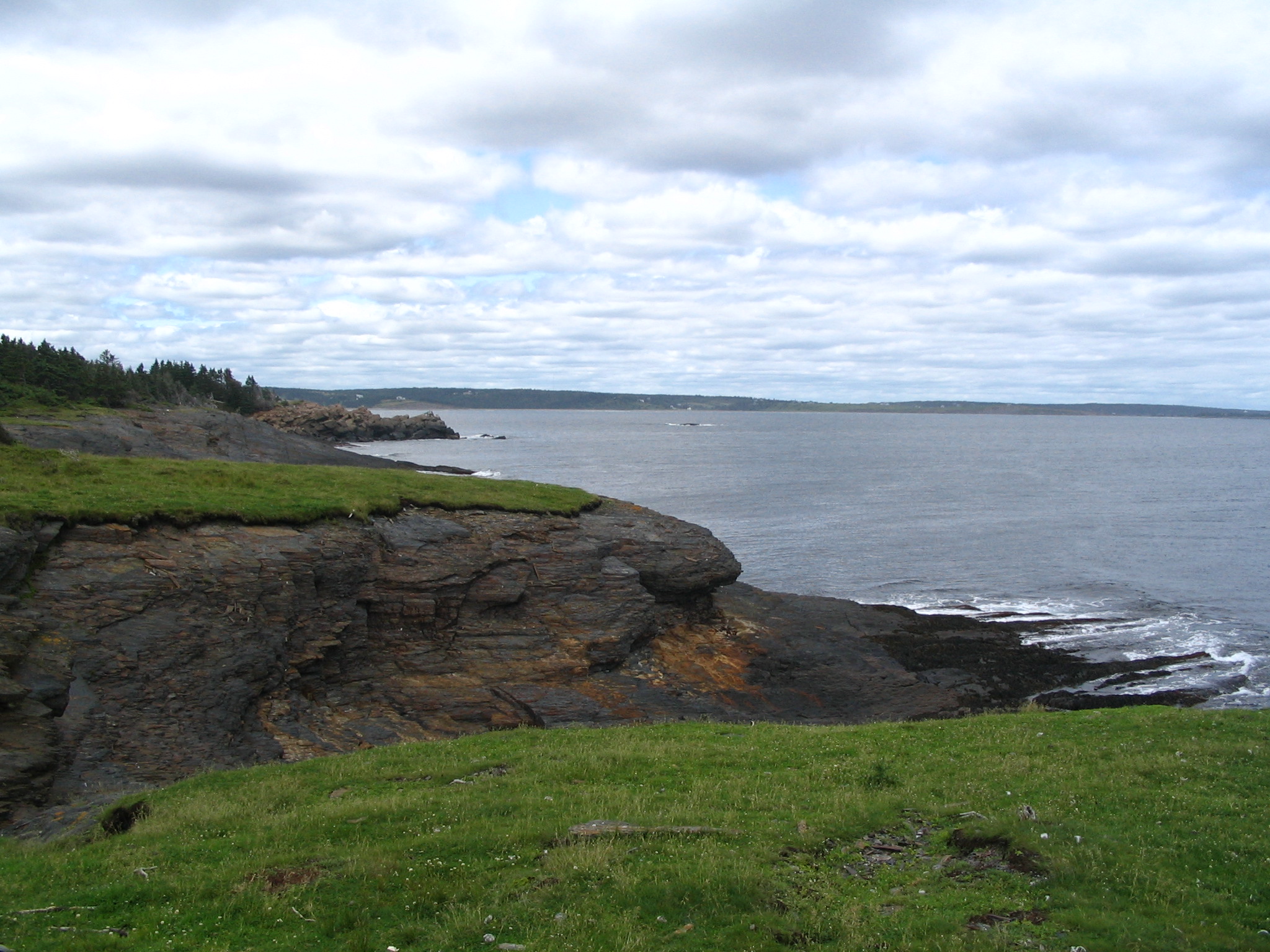
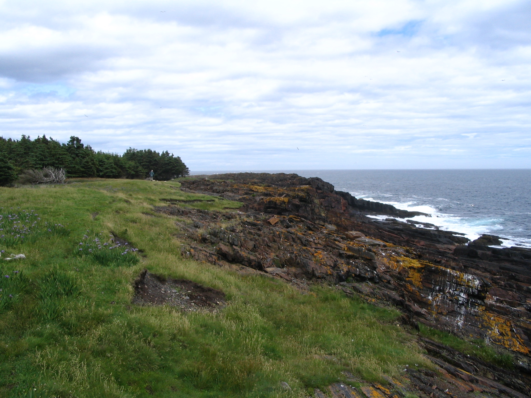
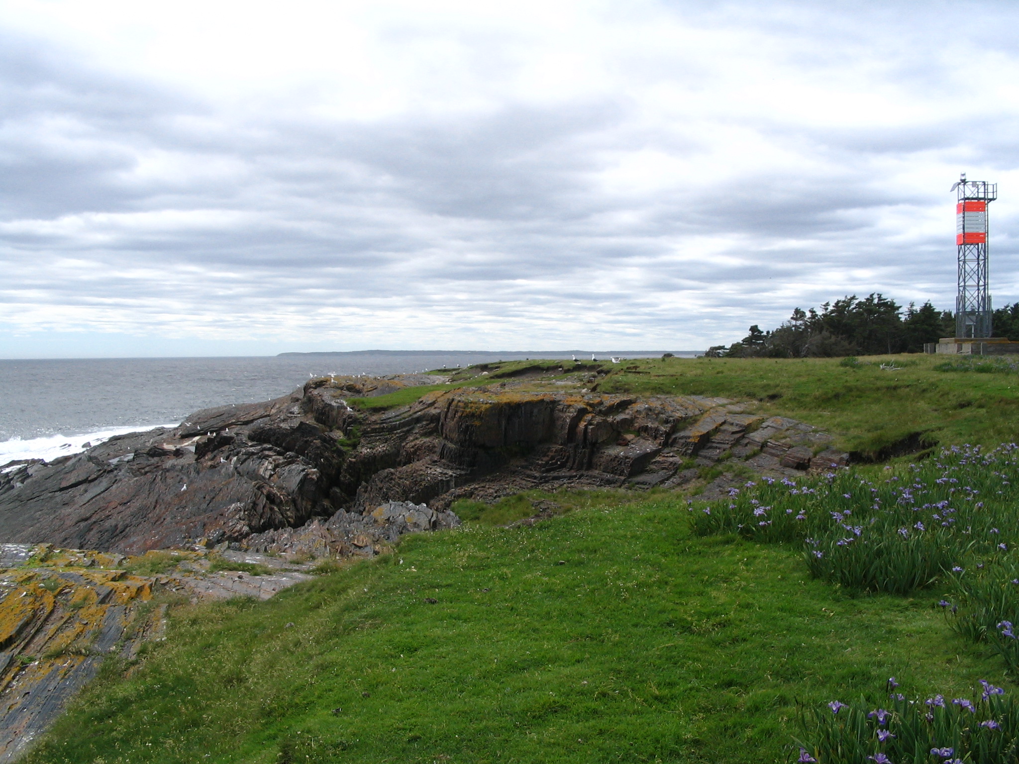
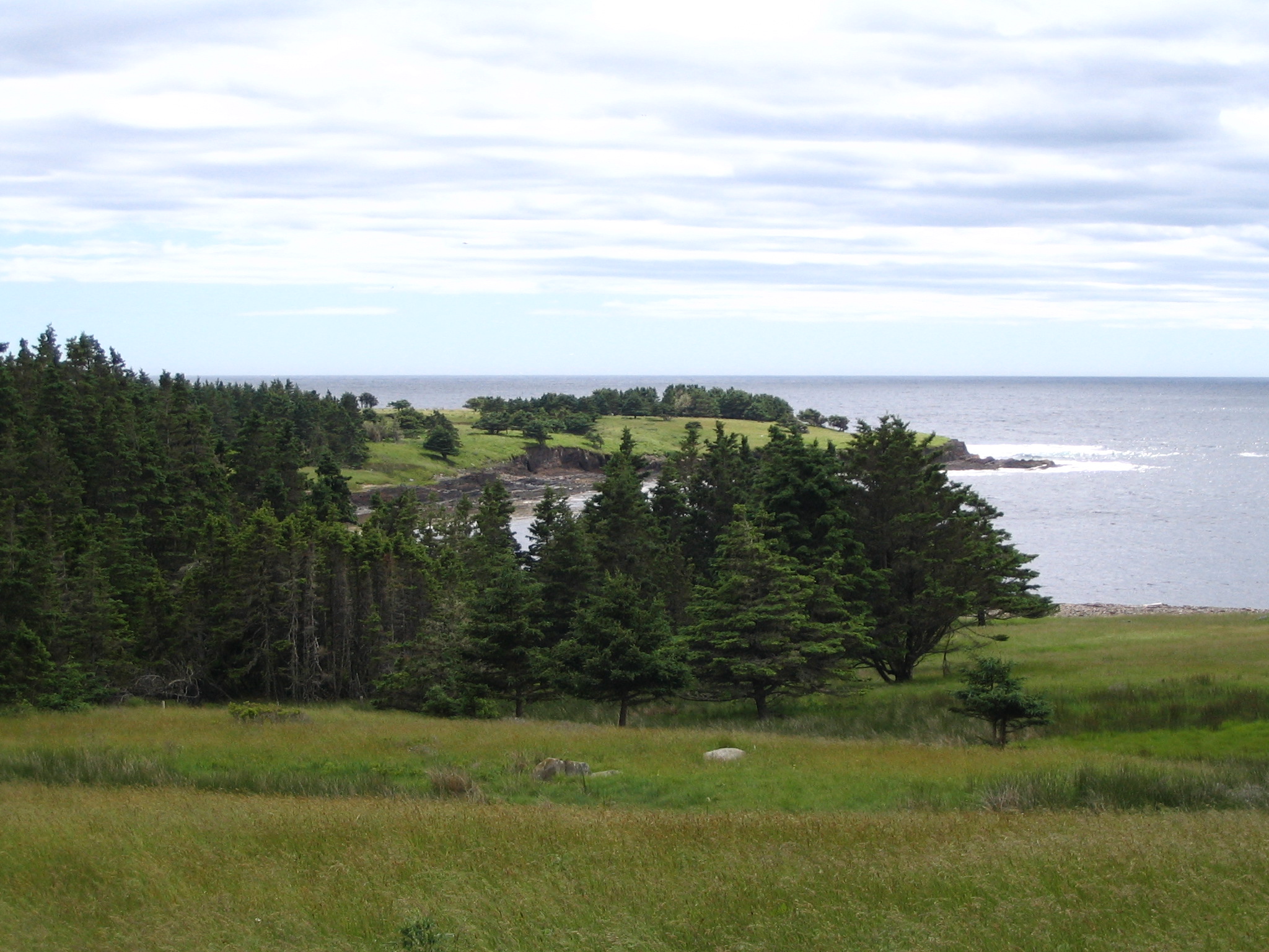
West Ironbound is a protected 120-acre island along the Atlantic coast of southwest Nova Scotia, just off-shore from Hirtle’s Beach on the Kingsburg Peninsula, and situated within the LaHave River estuary. 

In 2010, when the then-privately owned West Ironbound Island became available for purchase, the Kingsburg Coastal Conservancy acquired half the island to safeguard it from development and preserve its ecological integrity. In 2013, after a period of fundraising, funding from the Province of Nova Scotia, the Sitka Foundation of British Columbia, and numerous individuals made it possible to buy the other half of the island, thus protecting the island in its entirety.  


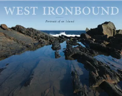
The KCC now stewards the entirety of the island and has developed an island trail system and partners with The Nova Scotia Sea School (www.seaschool.org) so that they can offer summer teenage experiences on the island.  KCC has also  facilitated a pre-pandemic summer program of public visits to the island (which we hope to revive in the future), and inaugurated a unique creative residency program housed in the small cottage on the island (www.facebook.com/IronboundCreative).  It is our hope to develop additional opportunities for the public to visit this special place.


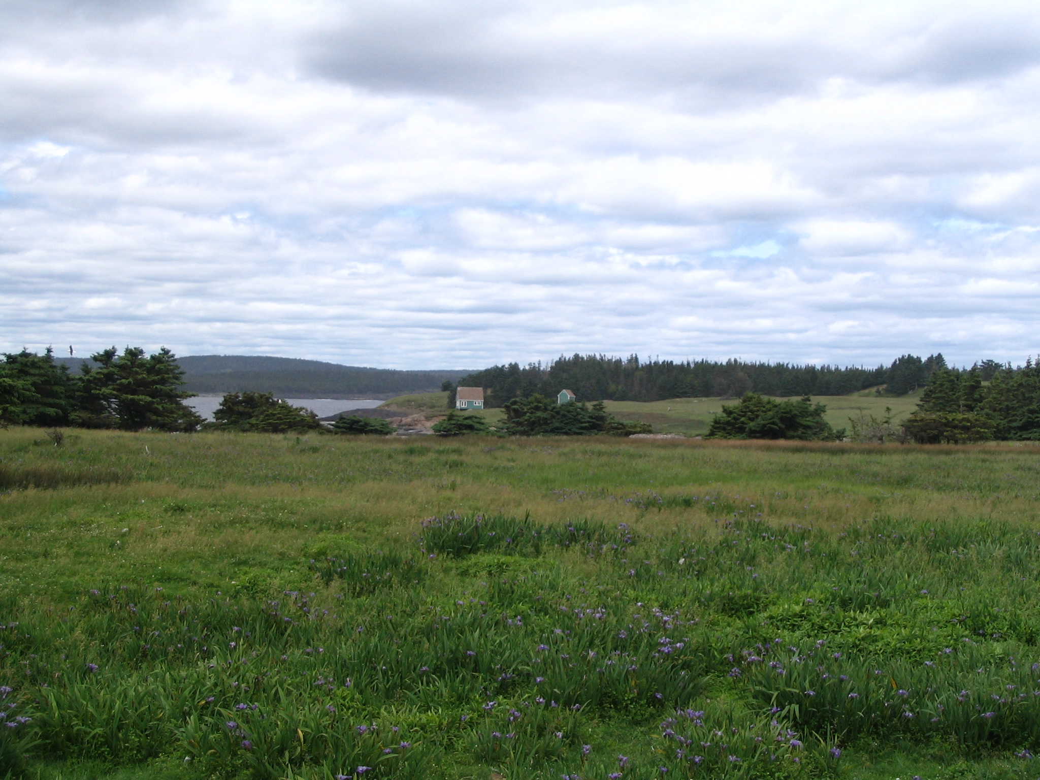
In the mid-nineteenth century, the island was settled as a fishing outport. A century later, a local family moved there as lighthouse keepers, and for several generations they also worked a small potato farm and kept sheep on the island. The resident human community is long gone, but quasi-feral sheep still roam the island. The current flock is tended by a local farmer who commutes periodically from the mainland.

In 1907, West Ironbound Island was the site of the winter stranding of the S.S. Mount Temple just off the shore of the island and nearby Gaff Point. The subsequent rescue of its passengers and crew, which has long been part of the lore of the South Shore.


Today, West Ironbound is a coastal treasure that includes a thriving rookery for great Blue Herons, nesting bald eagles, and abundant space for other nesting birds. While only slightly removed from neighbouring Gaff Point on the mainland, it provides stunning ocean vistas and unique views of the LeHave Islands, Hartling Bay, and the shoreline of the Kingsburg Peninsula.   It’s an amazing place to visit!M

In 1907, West Ironbound Island was the site of the winter stranding of the S.S. Mount Temple just off the shore of the island and nearby Gaff Point. The subsequent rescue of its passengers and crew, which has long been part of the lore of the South Shore.

Today, West Ironbound is a coastal treasure that includes a thriving rookery for great Blue Herons, nesting bald eagles, and abundant space for other nesting birds. While only slightly removed from neighbouring Gaff Point on the mainland, it provides stunning ocean vistas and unique views of the LaHave Islands, Hartling Bay, and the shoreline of the Kingsburg Peninsula.   It’s an amazing place to visit!

Maps of West Ironbound Island

Maps of West Ironbound Island

This is the first known map of the Kingsburg area drawn by a European.Samuel de Champlain drew this in 1604. In his journal he wrote “On the 8th of the same month, we sighted Cap de la Hève, to the east of which is a bay, containing several islands covered with fir-trees. On the main land are oaks, elms, and birches. It joins the coast of La Cadie at the latitude of 44˚5˙, and at 16˚15˙ of the deflection of the magnetic needle . . .”


Photos of West Ironbound Island